
We left Hurricane, Utah at 10:00am and got onto Hwy 59 (100 south in Hurricane) heading east toward Colorado City. As we started up the Hurricane Cliffs, we saw a sign indicating that Pipe Spring was 44 miles away.
The Drive was actually a bit reminiscent as I passed by some trail heads of hikes that I had gone on in the past, such as Hurricane Canal and Gooseberry Mesa. After about a half an hour we made it to the Colorado City/Hilldale area, which is also the Utah/Arizona boarder. About 10 miles later, after 41.2 miles on Hwy 59, we came to the signed turnoff for Pipe Spring.
 |
| Visitors Center |
The Visitor's Center has a self guided tour area that contains some neat artifacts and a history of the area and the people who populated it. We spent time walking through this area at the end of our visit.
First, we wanted to go on the hike, of course! The hike is only .57 miles and has many
 |
| Liz, on the trail |
We read all the signs as we made our way along the edge of the cliffs, and then followed the trail as it turned back north-east toward Windsor Castle. The trail was an easy walk, but helped give us a feeling and idea of what some of the early inhabitants had to work with as far as edible plants and the surrounding terrain.
 |
| Windsor Castle |
A spring (Pipe Spring) actually runs through the Castle and was used for, among other things, a method of refrigeration of food. Also in the Castle was a Telegraph outpost, who's first operator was Eliza Louella Stewart. The Castle also housed many travellers on their way to St George, and elsewhere.
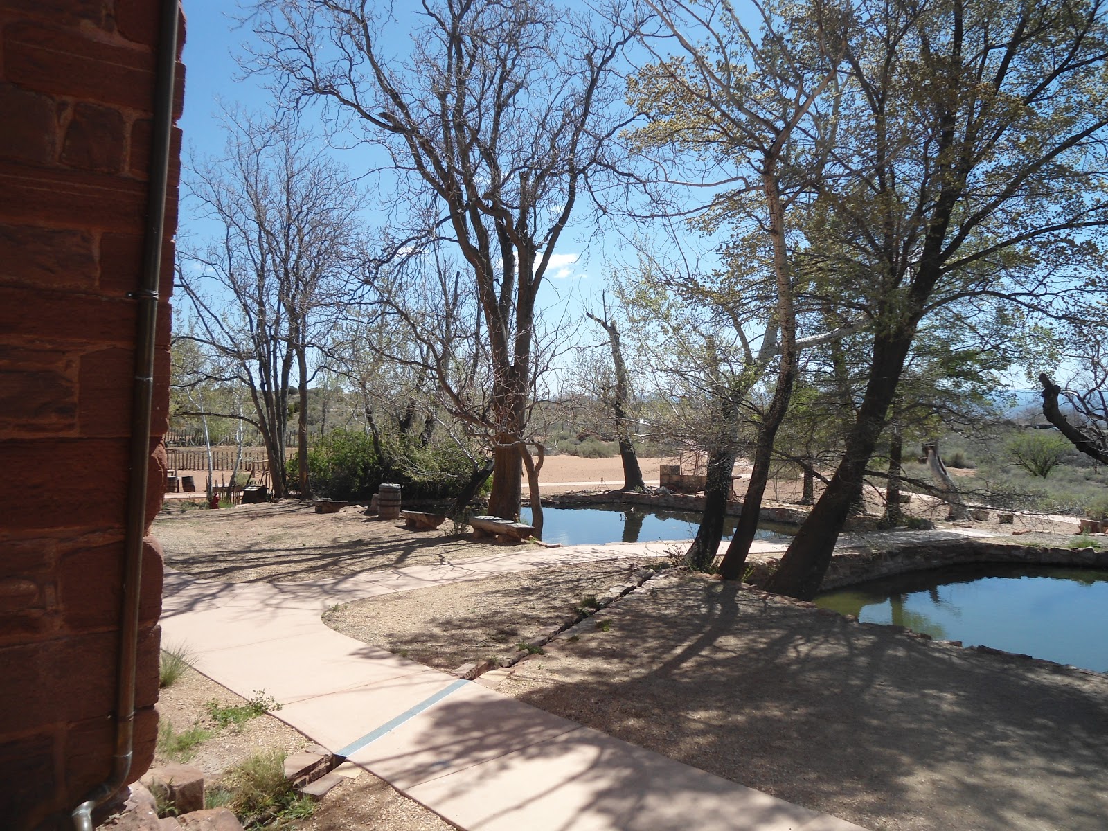 |
| Retaining Ponds |
It was a very enlightening hike and visit to a very remote, but inviting place.
 |
A look at the Ranch from just outside of the Visitors Center
Trail Sign

Liz, on the trail and under the old telegraph wire

A look at the Arizona Strip from the trail

A plaque on Windsor Castle

The Parlor inside Windsor Castle

The kitchen in Windsor Castle. The stove is the original stove.

This is the room were telegraphs were sent and also the bedroom that the operator lived in.
|

No comments:
Post a Comment