Nov 1, 2012
With a little of Confluence Park explored last week, Liz and I thought we'd explore a bit more of it this week. The Park its self has 10 different trails in it and Liz and I would be covering five of them on this hike. We took two cars and parked one of them (our pick up car) at the Main Street Trail head in Hurricane. To get there, follow main street north from SR-9 in Hurricane until it ends in an undeveloped neighborhood at a trail head marker. The marker here is an historical marker of the early exploration of the Hurricane area by Parley P Pratt.
 |
| Parking area and trail head |
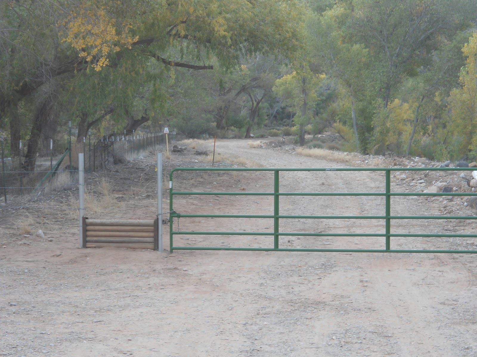
Once we parked our car at the Main Street trail head, we headed to 900 North in LaVerkin, took a left, and then followed the signs to the newly developed trail head. At the trail head there are restrooms and a large sign with a map of all the trails as well as a little history on the area. The Trail head is large and the trail starts at the far end, following a dirt road. A large green gate blocks the way for motorized vehicles, but a little hikers pass allows hikers access to the trail/road.
The main dirt road is Confluence Trail. We took this road for about a third of a mile until we came to a sign post indicating that the La Verkin Creek Trail went off to the right. The La Verkin Creek trail starts out as a pretty well worn hiking trail as it takes you to the confluence of La Verkin Creek and the Virgin River. From this point though, the trail disappears and for a time we even contemplated crossing the river at this spot. Instead, we decided to follow the river bank upstream and ended up periodically finding what appeared to be faint game trails. We followed them, parallel to the Virgin River until we could see the road that we started out on (Confluence Trail). We walked back to Confluence Trail and noticed that back to the left there was an old building. We decided to back track a bit to check it out. It was the old Historic Dairy Barn. We checked it our for a little bit, then turned back around and continued on our way. About a quarter mile past the Dairy Barn, we came to the Anasazi Cave Overhang. At this point, the Cactus Cliff trail joins the Confluence Trail and the junction is signed.
 |
| Grain storage site with volcanic outcropping to the right |
The next landmark we came to was the Historic Grain Storage Site, about a quarter mile past the Anasazi Cave. The granary stored grain for the turkey farm. This was the coolest part of the hike. Just off to the side of the storage site is a really cool volcanic rock formation that we spent about 30 minutes exploring.
 |
| Hydroelectric Power plant |
Past the Grain Storage site, the trail continues on the river bank for about another third of a mile until you get to the Hydroelectric Power station. This power station was built in 1929 and was in operation until 1983. It was another highlight of the hike.
After checking out the old power plant, we decided to ford the river and find "Chub Trace" a .6 mile trail that would take us back to Tortoise Track, the trail that leads to our car. The current of the river was strong in spots and the water was cold, but we made it across without incident. We then bushwhacked our way for a short time until we came to the trail we were looking for, which was pretty faint.
We came to the junction with the Tortoise Track, took a left and started up the hill until we came to the Confluence View Trail which is where our car was parked.
Because we are familiar with the area, we had no problem navigating our way back to where we needed to go, even in the absence of a trail in spots. But for the most part, the trails are pretty easy to follow, especially the Confluence Trail and the Tortoise Track, which are actually jeep roads. In total, the hike was about 3.5 miles.
 |
| This is how different points of the trails were signed |
 |
| Liz is in the center of the volcanic rock "fort" |
 |
| Liz, making her way through a fissure in the volcanic rock |
 |
| The granary from above (on the volcanic rock) |
 |
| The sign at the trail head |
 |
The gate at the trail head
|


No comments:
Post a Comment