15 Nov 2012
With the weather warm enough for me to attempt a longer hike, I thought I'd give Coalpits wash an attempt. I had wanted to do Coalpits for some time to check out the oil ruins left from a failed drilling attempt many years ago.
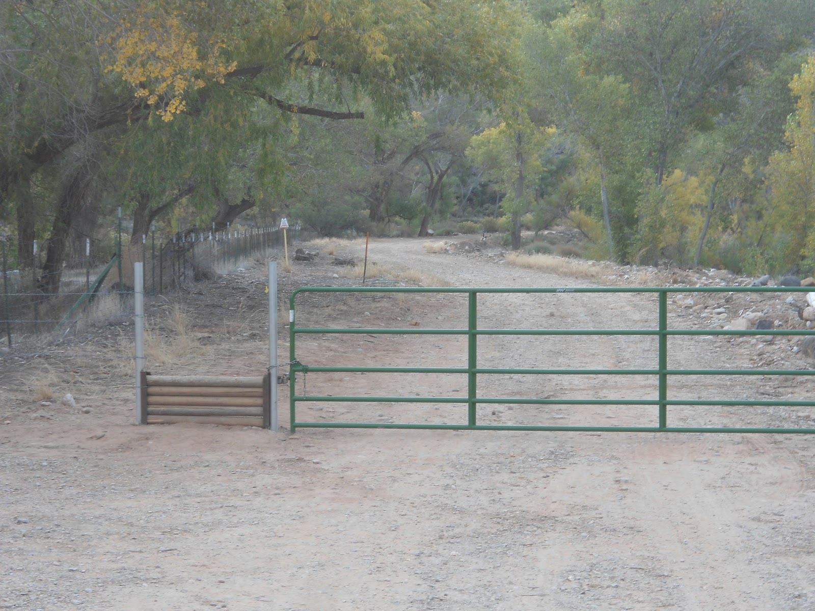
The trail head is located just across the bridge spanning the small Coalpits wash, just on the east side of the bridge. The bridge is signed, and there is a small parking area on the north side of the highway. A NPS fence leads to a wooden hikers gate and a trail sign.
I started on my way 5 minutes before 9:00. With the temperature in the 40's, my hands were freezing and I would look forward to the section of trail that was exposed to the sun. I thought about how I would be thinking the exact opposite had I been attempting this hike in the middle of summer!
The well-defined trail was covered with leaves from the overhead trees. After about a half mile, the trail crosses two small but steep ravines and wanders under power lines. A third small ravine is crossed and a small post sign is passed indicating that I was entering the Zion Wilderness area.
 |
| Campsite 6. This is where you leave the trail and head across the wash on the left. |
After 1.75 miles, I came to the confluence of Scoggins and Coalpits washes. The first time I attempted this hike about 4 months ago, I ventured to the right, following the main trail. Unfortunately, a few miles later, I realized that this was Scoggins Wash that I had followed. The confluence is marked with a campsite marker, number 6. When you come to this marker, cut across the wash and head up the wash on the left where the bigger water flow is coming from.
 |
| Round, prickly balls of death that kept attaching themselves to my socks. |
From here, the views of Cougar Mountain ahead shortly open up and it seems like an insermountable task to get there. But that's where the trail takes you - until it curves right along it's south wall. At this point there are a couple of options.There isn't much of a trail so you can make your way up the river itself, which would be slow going, or try to find the faint game trails up on the benches. For the most part, I followed deer tracks since I figured they would probably know the easiest way through the brush. I ended up stopping what seemed like every 50 steps to pull round prickly balls of death out of my socks. (Yes, the name I gave them is a little overly dramatic but, after a while, it was a pain in the behind to pull them out of my socks. I would get pricked in my ankles about 10 times before I finally cried 'uncle' and stopped to pull them out, only to get pricked in each finger as I pulled them out).
When the trail brought me back to the river, some of the pools were frozen over and in some spots, heavy frost lined the river bank. There were many small picturesque waterfalls along the way as well. After about 3.5 miles, the wash turns into a mini canyon of sorts with rock walls enclosing the river course. I hadn't gotten my feet wet yet, so I bushwhacked my way onto the rim, just about 30 feet above the river, and made my way around the narrow reed filled river that way. Since coming back from my hike, I've heard that "coalpits spring" is found coming out of the rock in this short portion of the hike and that it results in a mini hanging gardens. Next time I will have to hike up the river to check it out.
 |
| The cairn marking the Chinle Trail junction. |
Just past this part, and 3.8 miles from the trail head, the Chinle Trail comes in from the right. It is well marked by a large cairn on the river bank and another large cairn and small post sign off the river.
The next interesting landmark that I was supposed to come to (5.5 miles from the trail head) was the oil ruins. I was expecting to see something like the cable works at Cable Mountain, but on my way up the wash, I actually missed the ruins.
 |
| The falls before the hanging gardens. |
I continued up the wash and after 7.9 miles came to some really pretty falls that winded around beneath some spectacular hanging gardens. Just past the hanging gardens was another waterfall preceded by a small pool. To get up the waterfall (about 6 feet tall) I had to get my feet wet for the first time before climbing up the mossy rocks.
I made it up and quickly came to another 6 foot waterfall that I bypassed by climbing up the wall on the right. After 8.2 miles I came to a fork in the wash. Since I left my map at my house, I wasn't sure which one was Coalpits. Water flowed from both forks. I decided to follow the one on the right, which had less water flowing from it. With time running out to make it back to a dinner appointment, I knew I wouldn't have much longer to explore. I went up the wash for a few hundred yards and it looked as though the wash was extremely overgrown with brush, so I decided to turn around. (Upon looking at my map when I got home, I realized that Coalpits actually was the the one on the left and ended not much farther up stream).
 |
| Oil Ruins |
The way back was long and my legs were showing the effects of not having been on a long hike for a couple of months. I did, however, manage to spot the oil ruins on the east side of the river, up on a bench about 15 feet above the river. They were neat to see, but again, not what I was expecting.
I got back to the car about 4:15 after 16.5 miles. The trail admittedly isn't as scenic as most of the hikes I have been on, but it did have it's interesting points. Doing this hike in the summer would be brutally hot and the fall proved to have it's downside as well with all the burrs and bristles falling off their plants and easily finding my socks. Spring would seem to be the best time to do this hike.
 |
| One of the many falls on the hike. |
 |
| My hiking stick on a frozen pool. |
 |
| Looking north towards Cougar Mountain. |
 |
| A portion of Coalpits wash near the junction with the Chinle Trail. |
 |
| A picture of the partially frozen river. |
 |
| The falls before the hanging gardens. |
 |
| A close up of the hanging gardens. |
 |
| The first 6 foot fall. To get passed it, I climbed up the rocks just to the right of the water fall. |
 |
| The second 6 foot fall. To get passed this I climbed a thin ledge on the rock to the right. |
 |
| At the end of my hike. I took the right fork for a few hundred yards although Coalpits Wash continues on the left fork. |
 |
| Another picture of the oil ruins. |