 uldn't pass up another opportunity to take part in the great adventure. The original plan was to once again do the "Das Boot" route, as we had done the previous September. But in talking to one of the rangers, Nick was informed that to do the "Das Boot" section this early in the year would be dangerously cold, even with wet suites. So we decided on the normal Subway route which I was excited about since I had never done it before.
We met at the Lins parking lot in Hurricane at 7:15 and drove to the town of Virgin where we took a left on the Kolob Reservoir road. From there it's about a 8 mile drive to the Left Fork trail head, where we left one car and all piled into the other for the final 7 mile drive to the Wildcat Canyon Trail head, arriving at about 8:05.
We got our gear together, took some pictures, left the keys to our shuttle vehicle that was parked at the Left Fork Trail head in the car...ooops...and got on our way at 8:18. T
 here were 6 of us in the group - Nick, his mom and step-dad, mom's friend, myself, and one of Nick's friends.
The hike starts through the open meadows of the Kolob Terrace, which are dotted with Ponderosa Pine trees. Soon, the trail goes through a forested area. After about 30 minutes, we came to the Northgate Peaks trail, which comes in from the right. This is the trail you want to take for a short while, until a clearly marked sign marks the subway route which breaks off to the left. From here, the trail leaves the shade of the trees to open slabs of rock. The trail is marked by cairns for the most part, but if you just continue down to the gully below, it is pretty easy to pick up the t
 rail again as you enter another forested area.
We new there would be a lot more water than our trip last year because of all the rain we had received this spring. As we continued hiking and encountered numerous flows of water down the slickrock, we knew our hunch was beginning to be proved correct.
The trail continues to the left of a noticeable huge gouge at seemingly the end of the canyon with many trees growing out of it. Once up and over the saddle another steep decent of slick rock is encountered. I snuck an occasional peak over to the shelf to the left, to recall the Das Boot route we had taken before.
After a short hike through some scrub oak, we finally came to the steep decent into the canyon. It was actually quite a bit steeper of a decent than I was expecting and if memory serves me correctly, much steeper than the Das Boot route.

Those who had wet suites changed into them. I put on my neoprene socks and made sure all of my gear was stored water tight in my pack.
We started down the canyon and after about 10 minutes, encountered the first obstacle - a jumble of giant boulders. Last time, we chimneyed down the rocks to the far right (about 15 feet up). We went over that way first, but because of the water in front of the giant boulder, we decided to try to down climb the front of the boulder as far as we could and then slide down the remaining 10 feet or so into about 2 feet of water. We all did it this way except for Nick's mom, who slid down the waterfall to the left side of the boulder into a pool, maybe about 4 feet deep. As there are rocks under the water there, I don't recommend doing that. Whe
 n it was my turn to go, I down climbed the front using the small hand and foot holds and the slope of the rock to keep me on it. As I got lower to the water, the holds began running out and the slope was about 90 degrees. Under normal conditions, I probably could have down climbed to a gentle 5 foot drop into the water, but because my hands were about numb and my forearm muscles tight, I lost my grip about 8 feet up and slid down the boulder into the water. No harm done...
About 15 minutes below the first obstacle is the triple pool which presented us with our first required swim. I wasn't looking forward to this, remembering how cold I was last time, after I got wet...but this time, even though the water would be a few degrees older due to the time of year, I decided not to wear a cotton shirt, opting instead for my nike thermal top, which would dry out much faster. I jumped in and started the swim. I could feel my muscles tightening as I entered the frigid water, but after a few doggie paddles with hat in hand (it was knocked off when I jumped in), I was to the other side.

As we continued on, we noticed several small springs that added water to the canyon. Another 15 minutes or so later, we encountered the next swim where the canyon formed a slot filled with water. This is where we had our first scare. To get to the swim, you have to down climb about 10 feet while water is pouring down on you. This was made more difficult than normal because of the higher water levels and stronger flow. I was the first to make the attempt. As I sat on the top of the rock with water rushing past all around me, somewhat pushing me forward, I tried to put my foot down into the middle of a small pool of water below. But when I couldn't feel the bottom, I quickly lifted it out as my momentum was pushing me forward and placed it on what looked like a small arch on the far side of the little pool. It held and I steped over onto it, staring at a small, pool of water that I was sure to have to swim through. I jumped in and swam through the long dark corridor to the large open area at the end. I quickly made my way to the sunlight to try to warm up.

This is when I heard some commotion back in the slot I had just come out of. Nick went in after me and jumped into the middle of the first small pool that I couldn't feel the bottom of. I didn't want to go in the small pool when I went because of the incredible force of the water fall that would be coming down on my head and back. His foot got stuck momentarily between some rocks but he was able to get in loose quickly and start the swim. His mom was next and she ended up getting stuck in that small pool as well. It took her a little longer to get out, which is what was causing the commotion.
We pressed on and after about another 10 minutes came to Keyhole Falls. I walked down what seemed to be a very strategically placed log that was slippery, but with care, manageable. This led to a little more swimming and a beautiful corridor. At the end of the corridor, the canyon abruptly turns right, where many small pools are encountered, one resembling a heart!
.jpg)
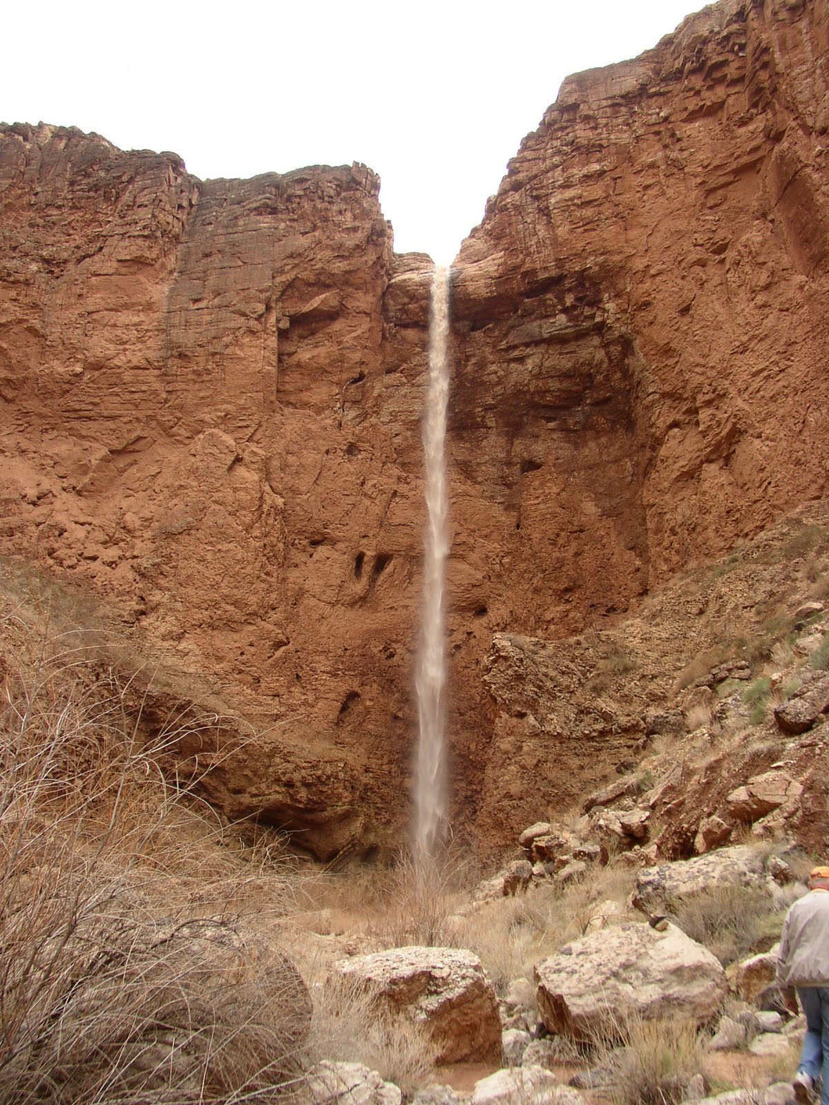
We then crossed over to the left side of the water flow at the top of the waterfall. With no rope, the easiest and safest way is to down climb near the bottom of the waterfall, which means one more swim through a small pool. If you have rope, you can bypass the little swim by continuing a long the ledge about 50 feet where there is a bolt attached to the rock. This allows for about a 30 foot rappel, which we did last time.
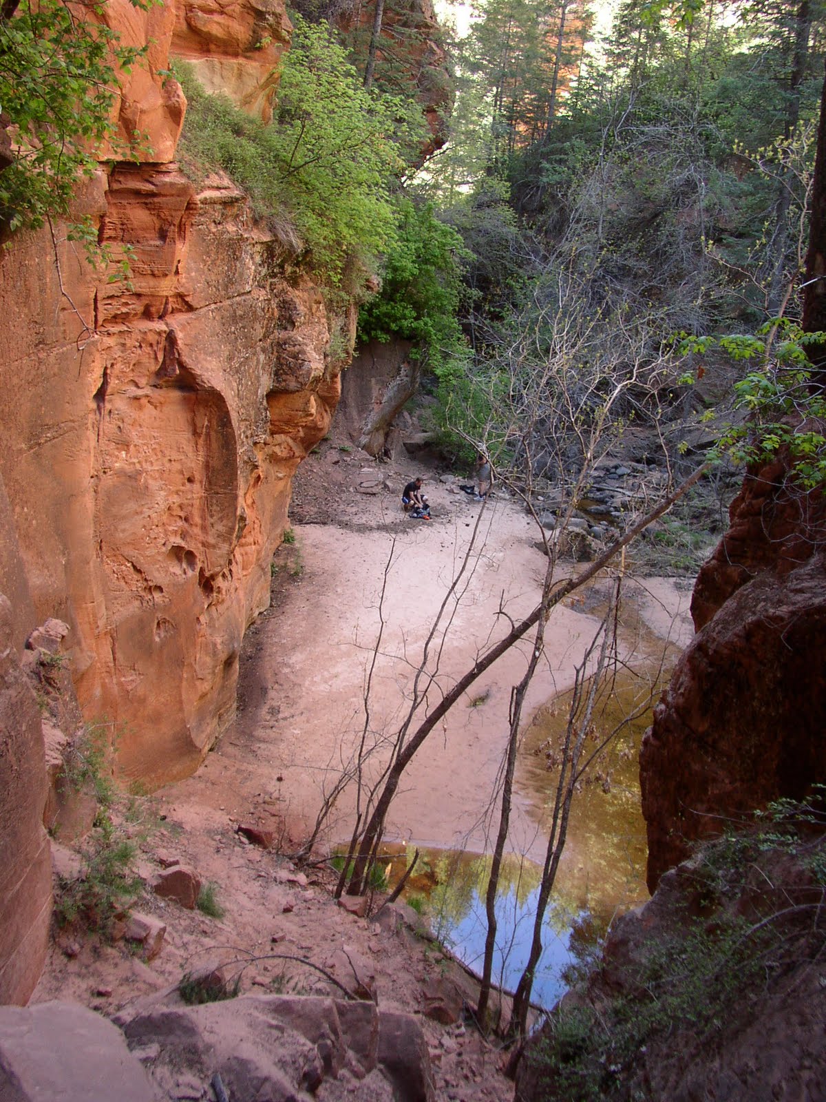
Once past this final obstacle, I took in as much of the beauty as I could while shivering and then headed for the sunlight where we took a break and stopped to eat. I also had brought a change of dry clothes, which I changed into. Finally starting to get warm, I was able to look back up canyon and really appreciate the beauty of the Subway!
While we stopped, we talked with a couple of hikers who had passed us on their way. They agreed to take Nick b
 ack up to his car since because we had left the shuttle keys in it, it was either find a ride up or hike 7 more miles.
As we got started, we determined that we would all start off together but that to keep up with the hikers who would be giving us the ride up to our car, we would split after a while and let us each hike at our own pace. The first part out descends some beautiful small waterfalls over slickrock red ledges. This is where I had my little spill and we had our first fatality on the hike - my camera! There was talk of retirement for the camera long before this hike, though...
Once past the slick rock waterfalls, the canyon walls open up and the trail crosses the river a few times but for the most part stays above it. On one of the crossings, as my feet felt the chill of the water, I was reminded of just how cold I was a short time before!
We made it to the dinosaur tracks at 2:12 and then back to our car about 3:35. The trail that takes you out of the canyon is marked by a small sign with a boot print on it by a trail that cuts up to the right of the river. The hike up is notorious for being difficult - about 400 feet in about a mile. I found it to be a nice way to warm up my muscles that had been frozen for so long.
The hike is about 8.6 miles and took us about 7 hours at a very leisurely pace.

.jpg)


 We went through the fence and made our way through the large rock formations that contain some
  Indian Petroglyphs, combined with more modern vandalism, on the left side as you are hiking in. The trail crossed a small stream about a half dozen times until it finally found it's way to a desert meadow. The contrast between the soil, which had a purple hue to it, and the surrounding vegetation, which was just beginning to come into bloom in a light green, was spectacular.
 The trail takes you up an inviting drainage as it intersects the Little Purgatory trail just before the 3 mile mark. At the junction, a trail sign marked the beginning of the Little Purgatory Trail. We continued to gain a little more elevation until it was finally apparent that we were about as high as we could get. From here, the highpoint at about 3700 feet, we had great views in all directions –
  but especially back to the town of Hurricane where we looked down on Sky Mountain, and had great views of Molly's Nipple and Sullivan Knoll.


